Absolute Asia/Nepal/Annapurna Circuit Trek: Route, Thorong La, Altitude and When to Go
Annapurna Circuit Trek: Route, Thorong La, Altitude and When to Go
The Annapurna Circuit in Nepal: 160 to 230 km, Thorong La at 5,416 m, Manang and Muktinath, the Annapurna Conservation Area (7,629 km2), acclimatization and the best seasons.
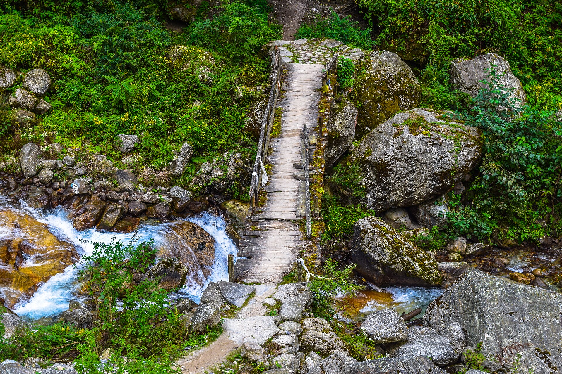
Quick Overview: The Annapurna Circuit in Nepal: 160 to 230 km, Thorong La at 5,416 m, Manang and Muktinath, the Annapurna Conservation Area (7,629 km2), acclimatization and the best seasons.
The Annapurna Circuit is one of Nepal’s classic treks, a loop around the Annapurna massif that climbs from green foothills to a high, cold pass and down into the dry Kali Gandaki valley. The route is long and varied, and Nepali sources say it is about 160 to 230 kilometers depending on where you start and finish.
| Length | about 160 to 230 km |
|---|---|
| Thorong La | 5,416 m, highest point |
| Conservation Area | 7,629 km², Nepal’s largest |
| Muktinath | 3,710 m, pilgrimage site in Mustang |
| Annapurna I | 8,091 m, first 8,000 m peak climbed (French expedition, 1950) |
The route in outline
The trail runs through the Annapurna Conservation Area, passing through Manang district near the Tibetan border, crossing Thorong La and descending to Muktinath in Mustang. Along the way you see Annapurna II, III and IV, Dhaulagiri, Machapuchare, and many other peaks between 6,000 and 8,000 meters. Nepali Wikipedia notes that almost every trekker adds an extra stage in the Manang area, because it slows the daily gain in height and makes the pass easier and safer to cross.
Thorong La
Thorong La, at 5,416 meters below the Damodar Himal, is the highest point on the trek. It’s the day that decides the trip: a long, early start, cold, and thin air. Treat it with respect, check the weather the evening before, and be ready to turn back.
Manang and Muktinath
Manang is a district of 2,246 square kilometers on the Tibetan border, with Manaslu to the east and Annapurna to the south, and it’s where most trekkers spend their rest days. Muktinath, at 3,710 meters in Mustang, is a pilgrimage site for Hindus and Buddhists. Tibetan Buddhists call it Chumig Gyatsa, “hundred waters,” and Hindus value the sacred shaligram stones found in the Kali Gandaki river.
The Annapurna Conservation Area
The trek lies in the Annapurna Conservation Area, Nepal’s largest at 7,629 square kilometers. It holds peaks above 8,000 meters, the Kali Gandaki gorge, described in Nepali sources as the deepest in the world, and both the wettest and driest places in Nepal. It was set up under the National Trust for Nature Conservation and covers parts of five districts. Annapurna I itself is 8,091 meters, the tenth-highest mountain in the world, and in 1950 a French expedition led by Maurice Herzog made it the first 8,000-meter peak ever climbed.
Altitude and seasons
The main risk is altitude sickness. Build rest days into the schedule, walk slowly, drink plenty of water, and descend if symptoms get worse. Spring and autumn are the usual trekking seasons, and the monsoon and deep winter bring rain, snow and closures. Permits and rules change, so have your operator confirm them before you book.
See our guides to Pokhara, Kathmandu and the Everest Base Camp trek, and our Nepal tours.
Planning the Annapurna Circuit with Absolute Asia Tours
Absolute Asia Tours has planned private trips in Asia since 1989. For the circuit that means a schedule with acclimatization days, a guide who knows the route, permits arranged in advance, and rest nights in Pokhara at either end. We’re rated 4.8 out of 5 across about 900 traveler reviews. Tell us your dates and we’ll plan from there.
Sources (read in Nepali, Nepali Wikipedia): अन्नपूर्ण पदमार्ग, अन्नपूर्ण संरक्षण क्षेत्र, थोरोङ ला, मुक्तिनाथ. Last checked November 2026.
Annapurna Circuit: FAQ
How long is the Annapurna Circuit?
About 160 to 230 kilometers, depending on the start and finish.
How high is Thorong La?
5,416 meters, the highest point on the trek.
How big is the Annapurna Conservation Area?
7,629 square kilometers, the largest in Nepal.
What is Muktinath?
A pilgrimage site for Hindus and Buddhists at 3,710 meters in Mustang.
How high is Annapurna I?
8,091 meters, the tenth-highest mountain in the world.
Where does the trek start from?
Most itineraries use Pokhara as the base, but start points vary. Confirm with your operator.
Photo: Anil Bhatta, Wikimedia Commons, CC BY-SA 4.0.

It was set up under the National Trust for Nature Conservation and covers parts of five districts.
Further Reading